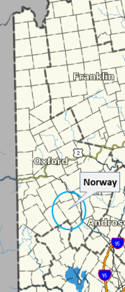
Norway, Maine
|
Main Menu
Home
Dining
Food Shopping
Lodging
Recreation
Entertainment
Event Calendar
Shopping
Business Directory
Organizations
Media, Radio, etc.
Maps
Information
History
Community
Volunteering
List Your Website
Advertising
Contact Information
Maps
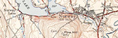
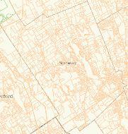
USGS Topo Map of Norway Village - 1949
Maps of Norway
Village of Norway, Maine by Osher Map Library
http://oshermaps.org/search/zoom.php?no=1204.0001#img0
Map Norway and South Paris - David Rumsey Map Collection
www.davidrumsey.com/luna/servlet/detail/RUMSEY~8~1~33119~1170485:Norway,-South-Paris-
Lake Survey - North Pond by Maine.gov
www.state.me.us/IFW/fishing/lakesurvey_maps/oxford/north_pond.pdf
Surfical Geology - Norway by Maine Geological Survey
www1.maine.gov/dacf/mgs/pubs/online/surficial/qc-norway.pdf
Shoreland Zoning Map for Norway
http://norwaymaine.com/n/wp-content/uploads/2014/07/shoremapadoopted06.17.13.pdf
USGS Historic Maps of Norway, Maine
http://docs.unh.edu/towns/NorwayMaineMapList.htm
USGS Map Norway Quadrangle
http://docs.unh.edu/nhtopos/Norway.htm
ArcGIS Norway, Maine
www.arcgis.com/home/item.html?id=eca7c497ccda40d6af30581dea416f55
Norway Map - Early Land Grants by MaineGenealogy.net
www.mainegenealogy.net/graphics/norwaymap.asp
Tax Maps - Norway Town Offices
http://norwaymaine.com/n/?page_id=567
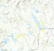
Overhead Image of Norway - South Paris Area - by CEBE
www.ecologybasedeconomy.org/map.html
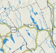
Maps of Downtown Norway
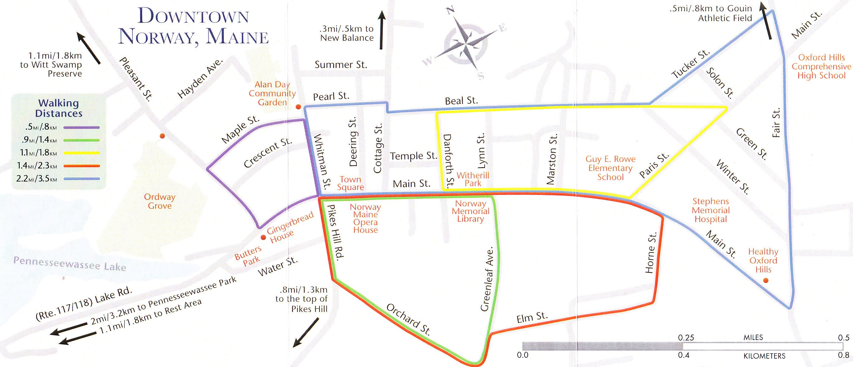
Walking Map of Downtown Norway, Maine
(click on image for a larger view of this map)
Map of Downtown Norway - Downtown Norway Maine
www.norwaydowntown.org/downtown-map.php
Norway Branch Railway - Abandoned
www.abandonedrails.com/Norway_Branch_Railway
Maps for Hiking in / around Norway Maine
Roberts Farm Preserve Trail Map
Google Trail Map
Roberts Farm Preserve Map - by Western Foothills Land Trust
www.norway-maine.com/maps/Map-RobertsPreserve-NorwayMaine.jpg
Maps of Oxford Foothills and Western Maine
Map Western Maine - by West Coast Maine Magazine
http://westcoastmaine.com/map/
Map - Food & Accomodations in Oxford Hills area of Maine
www.oxfordhillsmaine.com/map-food-accommodation.asp
Map - Things to Do in Oxford Hills Area of Maine
www.oxfordhillsmaine.com/map-things-to-do.asp
Map - Shopping in Oxford Hills Area of Maine
www.oxfordhillsmaine.com/map-shopping.asp
Map of Oxford Hills School District
www.sad17.k12.me.us/map-of-oxford-hills-school-district-maine
Map of Oxford County - 1858 by OldMaps.com
www.old-maps.com/maine/Oxford_1858/Oxford1858_webstuff/OxfordCo_1858_web.pdf
Map of Oxford County - 1858 by MaineGenealogy.com
www.mainegenealogy.net/graphics/Oxford_County_1858.html
Maps of Maine
Maps of Maine by Travel-Maine.Info
www.travel-maine.info/Maine_Maps.htm
Maine Maps by Maine Officer of GIS
www.maine.gov/megis/maps/
Maine Conserved Lands Map Maine.gov
www.maine.gov/dacf/mnap/assistance/conslands.htm
Maine Geoparcel Viewer - Maine Office of GIS
http://mapserver.maine.gov/geoparcels/index.html
Map for Broadband Internet Access - Maine ConnectME
http://mapserver.maine.gov/broadband/index.html
Maine Orthoimagery Viewer - Maine Office of GIS
http://mapserver.maine.gov/basemap/index.html
Osher Map Library - University of Southern Maine
www.oshermaps.org
|
|
AdsThis website is an Amazon Associate and earns money for qualifying purchases.
|
|
|